

Services

Charis Analytics Platform

Smarter Project Oversight — From One Dashboard

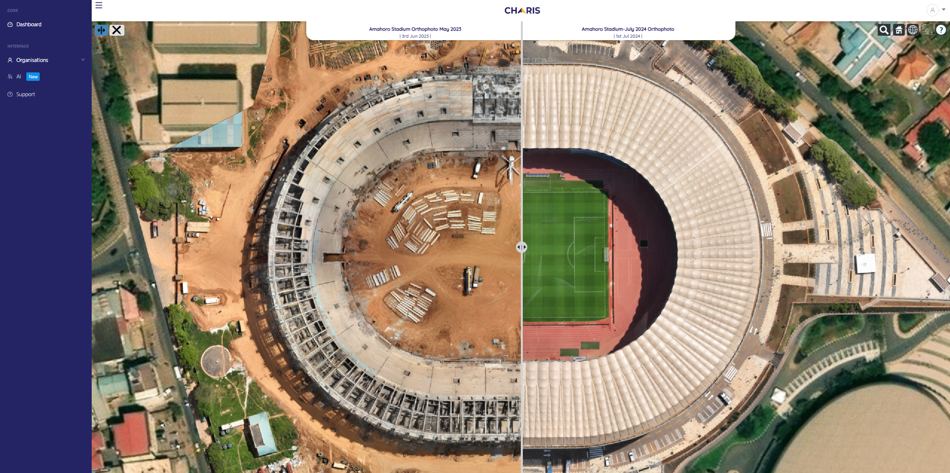
Charis Analytics is a subscription platform built for project managers, directors, and construction firms who need real-time visibility and clean, client-ready reporting — without flying blind

Charis analytics Key Features

Use Charis To:

Who It’s For

Construction companies, developers, and EPC firms managing 3–10+ active projects, especially across multiple regions

Charis UAS Field Services What we Offer

On-the-Ground Support Across Africa’s Most Demanding Sectors

For teams that don’t have internal drone or data ops, Charis UAS provides reliable, certified field services to deliver the visuals your platform needs. Whether it's progress monitoring or precision mapping, we handle everything — so your dashboards stay updated and actionable

Aerial Data Collection & Surveys

High-resolution site imagery, 2D maps, and 3D models — captured and uploaded directly into Charis Analytics.

Compliance, Legal & Documentation

We secure permits, fly legally, and deliver certified reports. Ideal for firms managing multi-country compliance.

Training & Capacity Building

Want to build an internal team? We train drone pilots, equip your staff, and support your scale-up.
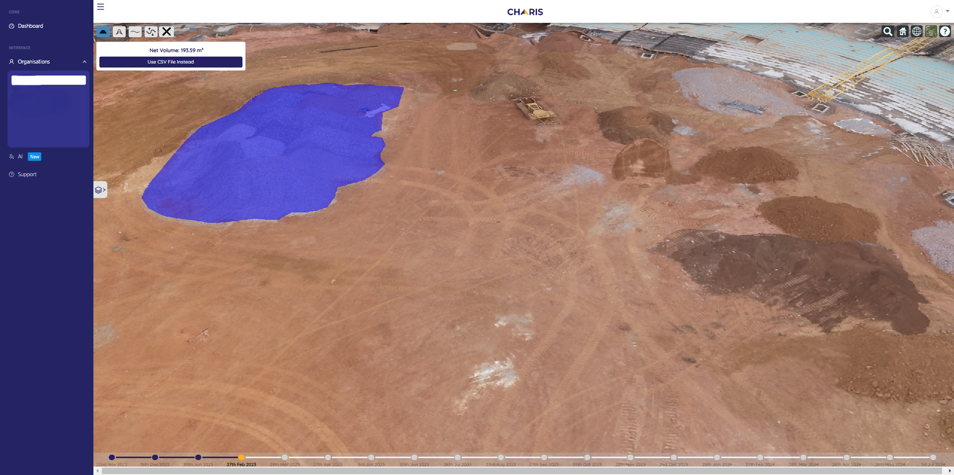
Measurement & Volume Mapping

Survey-grade outputs for cut/fill, volumetrics, and design comparisons — used by infrastructure and energy developers.

Who we Serve

Our teams have worked on projects in:

Construction Icon

Construction

Real-time oversight and compliance-ready documentation

Agriculture icon

Agriculture

Crop mapping, spraying zones, and yield management

Mining icon

Mining

Volume calculations and tailings monitoring

Energy icon

Energy & Telecom

Tower inspections and corridor mapping

Health icon

Health

Mosquito vector control and public health interventions

Environement Icon

Climate & Environment

Land use mapping, flood response, reforestation tracking

Scroll to Top